


8.5 km | 15.9 km-effort

Les Hautes Alpes à découvrir ! GUIDE+


FREE GPS app for hiking
 SityTrail
IGN / Geographical institutes
SityTrail World
The world is yours!
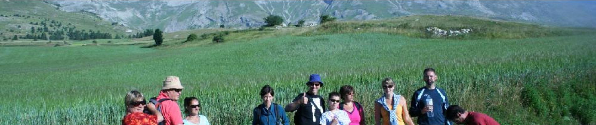
Trail Walking of 10.2 km to be discovered at Provence-Alpes-Côte d'Azur, Hautes-Alpes, Le Dévoluy. This trail is proposed by Camping Les Rives du Lac.
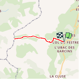
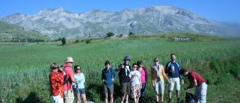
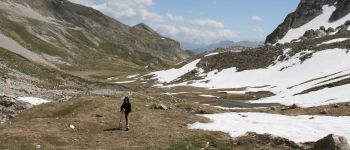
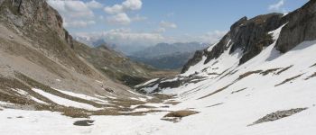
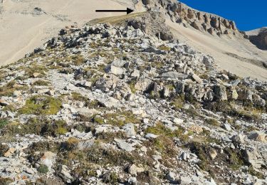
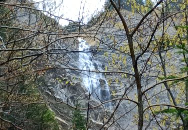
A magnificent hike taking the GR94 from the Col du Festre, in a protected valley. Beautiful passage over the waterfall Saute Aure. From the Aiguilles pass, we discover the landscape very different from Beauchêne. Be careful however for people with vertigo: passage a little aerial level cascades


Walking

Walking

Walking
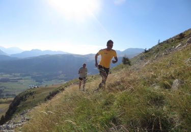
Running

Mountain bike

Walking
Walking
Walking
Walking
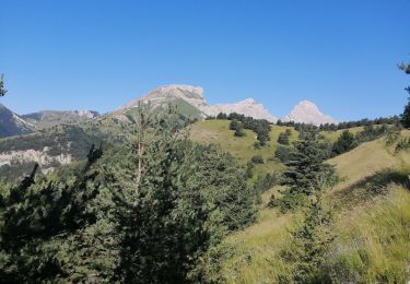
beautiful trail. relatively easy to walk. nice views. doable with kids.